
Natural streams, creeks, and drainage swales evolved to carry rainfall runoff long before culverts and pipes existed, and they remain one of the most efficient, resilient, and cost-effective elements in any municipal stormwater network. When a community plans for development or retrofit, treating these waterways as assets rather than obstacles yields measurable benefits for water quality, flood mitigation, and ecological health.
A stable channel with a connected floodplain slows high flows, traps sediment, promotes infiltration, and provides habitat for fish and wildlife. Vegetated banks shade the water, keeping temperatures cooler and dissolved oxygen levels higher, while root systems reinforce soils against erosion. In economic terms, each of these services reduces the need for expensive gray infrastructure, lowers maintenance costs, and protects downstream property from flood damage.
Sound practice begins with a comprehensive inventory and mapping effort. Planners delineate every perennial and intermittent channel, identify wetlands and riparian buffers, and document flood-prone areas. Using that baseline, they set protection corridors where grading, fill, and impervious cover are restricted. Site layouts are then organized to keep roads, parking lots, and building pads outside those buffers, allowing the waterway to remain in its natural alignment and retain room to meander.
Hydrologic and hydraulic modeling follows, comparing pre-development and post-development runoff volumes and peak rates. If increases cannot be avoided through site design alone, decentralized green infrastructure, such as bioretention, infiltration trenches, or porous pavements, is added upstream so that runoff delivered to the channel matches its historic flow regime.
Where access crossings are unavoidable, open-bottom arch culverts or bridges sized for the full bank-full width preserve the natural substrate and allow aquatic organism passage. Bank stabilization favors bioengineering techniques, live stakes, coir rolls, and reinforced soil lifts, over rock armoring wherever velocities permit. Outfalls discharge into level spreaders or small forebays to dissipate energy and filter sediment before water meets the stream.
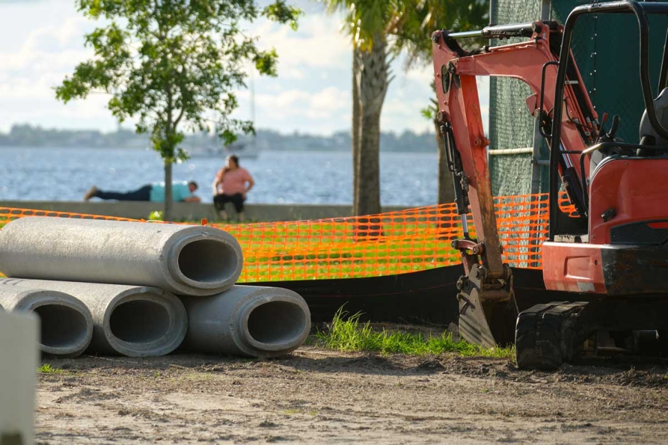
Even the best design can fail if clearing and grading activities overwhelm the channel with sediment. Contractors install double rows of silt fence, maintain vegetated buffer strips, and phase earthwork so that disturbed soil is quickly stabilized with mulch and seed. Inspections occur after every significant rain until permanent cover is established.
Post-construction, municipalities adopt maintenance plans that include routine visual inspections, debris removal, and rapid repair of localized erosion. Public works crews coordinate with environmental staff so that herbicide use, channel dredging, or beaver management do not inadvertently harm water quality. Educational signage and community outreach foster public stewardship, discouraging dumping and encroachment.
Clean Water Act Section 401 water quality certifications, Section 404 permits for fill in waters of the United States, and municipal separate storm sewer system (MS4) permits all reinforce the imperative to keep natural waterways functional. Many states offer stream-protection grants, while Federal Emergency Management Agency hazard-mitigation funds can offset costs of restoring floodplain connectivity.
Integrating natural waterways into stormwater management planning is not simply an environmental preference; it is a best-management practice grounded in hydraulic efficiency, fiscal responsibility, and regulatory compliance. By preserving channels, buffers, and floodplains, communities secure long-term resilience against heavier downpours, provide habitat corridors amid development, and pass cleaner water to their neighbors downstream.