
Hydric soils, those that form under prolonged saturation and develop anaerobic conditions, are ecological powerhouses. They store carbon, filter pollutants, support wetlands, and buffer floods. Because they are already close to saturation, even modest increases in runoff volume or velocity can trigger erosion, compaction, nutrient loss, and conversion to upland soils. Municipal planners and site designers therefore need a layered strategy that reduces runoff at its source, gently conveys any unavoidable flow, and keeps heavy equipment off fragile areas.
Identify and delineate. Use the NRCS Field Indicators of Hydric Soils and soil surveys to flag hydric horizons early in project scoping. (nrcs.usda.gov)
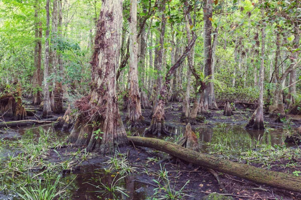
Map hydrologic connections. Many hydric soils sit in low‐lying hollows, swales, or riparian buffers. A drainage map helps reveal how quickly polluted or heated runoff could reach these areas.
| Goal | Low-Impact Design Tactics | Why It Works |
|---|---|---|
| Cut the runoff volume | Cluster development, shrink parking footprints, specify permeable pavers, green roofs, and rooftop cisterns | Less water ever reaches hydric soils |
| Slow and infiltrate | Rain gardens, bioretention cells, and grassed swales sized for the water-quality volume | Filters pollutants, mimics natural recharge |
| Maintain buffers | Preserve or expand native vegetated bands (25–100 ft) around wetlands and hydric pockets | Roots stabilize soil; vegetation uptakes nutrients |
EPA’s post-construction BMP fact sheets outline design criteria for many of these practices. (epa.gov)
Hydric soils are most vulnerable when heavy equipment arrives. Incorporate these temporary controls into Stormwater Pollution Prevention Plans (SWPPPs):
No-entry zones & matting. Fence off hydric areas and use timber, geo-mats, or construction access roads to spread wheel loads and prevent compaction.
Perimeter controls. Install compost filter socks, silt fences, or berms upstream of hydric soils; inspect after every storm.
Phased clearing. Disturb only the acreage you can stabilize within 14 days; seed or mulch stockpiles promptly.
Adaptive monitoring. Assign a qualified inspector to log turbidity, ponding, and sediment depth at each rainfall event; adjust BMPs as needed.
The New York Stormwater Management Design Manual and similar state guides now require these sensitive-feature protections. (dos.ny.gov)
Outfall retrofits. Where pipes already discharge toward hydric zones, add energy-dissipating level spreaders or step pools to diffuse flow.
Vegetation stewardship. Maintain native, deep-rooted plants that tolerate periodic saturation; control invasives that can choke microtopography.
Soil health restoration. Where past compaction occurred, apply compost amendments or sub-soil ripping (with care) to rebuild porosity.
Inspection cadence. Fold hydric-soil BMPs into your MS4 annual inspection checklist alongside basins and culverts.
The Southwestern Pennsylvania Commission lists hydric soils as “Special Value Features” warranting heightened protection and monitoring. (spcwater.org)
Many hydric soils meet the federal definition of wetlands. Disturbance may trigger:
Clean Water Act § 404 permits (U.S. Army Corps of Engineers).
State isolated wetland or buffer ordinances that go beyond federal scope.
MS4 Phase II requirements to maintain pre-development hydrology and document BMP performance.
Early coordination with regulators prevents costly redesigns and enforcement actions.
Avoid first, minimize next, mitigate last. The cheapest runoff is the gallon that never hits the ground.
Layer practices. Combine non-structural approaches (site layout, buffers) with well-maintained structural BMPs (bioretention, permeable pavement).
Inspect and adapt. Hydric soils change quickly; monitoring lets you fine-tune controls and spot failures before they spread.
By embedding hydric-soil protection into every phase, planning, construction, and long-term O&M, municipalities not only preserve sensitive ecosystems but also cut sediment loads, reduce flood peaks, and stay ahead of evolving stormwater regulations.